Spatial Intelligence Engine

The age of
uncertainty is over.

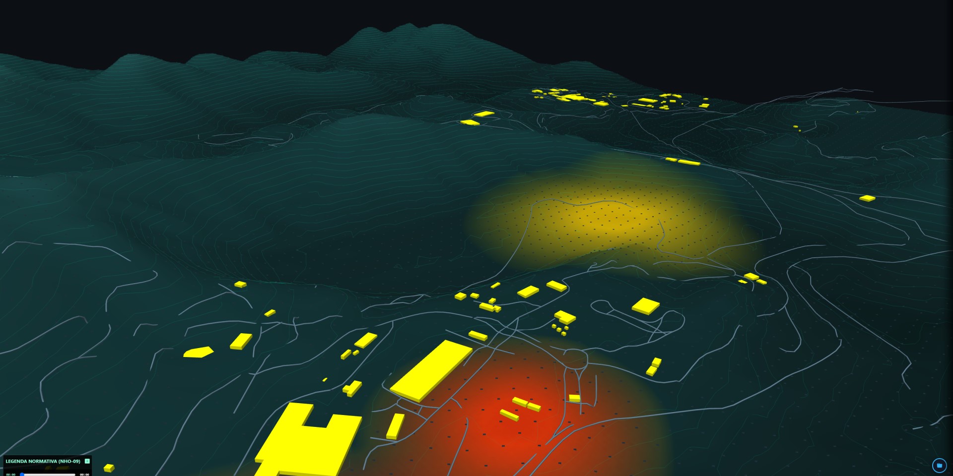
MapOmega develops Spatial Intelligence Engines (SIE) that transform thousands of operational data points into a living spatial representation of the operation — making risks, bottlenecks and opportunities visible in real time.

Every operational decision happens somewhere.
The SIE is the first tool that knows where.

Explore the SIE Ecosystem
Engine SIE MapOmega
MapOmni
DeltaOmni
Safety Cross

The SIE Manifesto

Every map speaks.
Ours tells the whole story.

WHERE
WHAT
Space
The physical reference of everything that happens
WHEN
HOW
Sensors
Continuous data across all dimensions
WHY
OUTCOME
AI · Anticipation
The cause before the effect
RISK
Alert
The right action, at the right place, at the right time

See and Act is still the best decision.
We build spatial intelligence to amplify decision-making — putting the right information, in the right place, at the right moment, in the hands of those who can act.

ASSET-01
ASSET-02
ASSET-03
ASSET-04
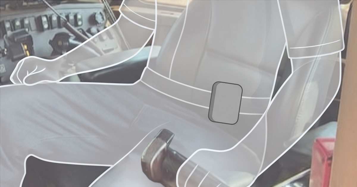
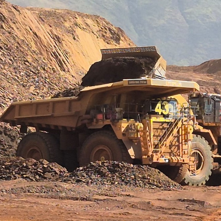
Spatial Intelligence Engine · Shadow ghost in production
An engine to see, and beyond

The question no tool could answer

Software evolved.
But forgot about space.

ERP · MES · SCADA
What happened?
Historical records. Yesterday's reports. The autopsy of what can no longer be fixed.
Dashboards · BI
What is happening?
Real-time indicators. Numbers without context. You see the problem — but not where it is.
AI · Machine Learning
What may happen?
Forecasts and alerts. Useful — but disconnected from the physical space where the decision must be made.
Spatial Intelligence Engine
Where it is happening — and why.
The physical space as primary data. Not visualization — intelligence. Every event positioned, correlated and prescribed at the exact place where action resolves the problem.

The Ecosystem

Three products. One engine.

Each product works independently and is a natural gateway into the full ecosystem.

Entry Point · Accessible Ticket
Product I · Spatial Interface
MapOmni
Georeferenced Spatial Context

The complete view of your physical space — in the palm of your hand, directly in the browser. Transforms floor plans into navigable 3D models. Visitors guided, managers with full visibility, construction tracked in real time.

3D Web-Native Multi-floor Georreferenciado Visitor Heatmap Instant Quote via SVG/DXF
Core Engine · Premium Ticket
Product II · SIE Engine
DeltaOmni
Continuous Production Control

Expands MapOmni's view across all operational dimensions. Closes the blind window between the radio and the dashboard — encoding the knowledge of your best operator and anticipating failures before they happen.

Δ Registro Δ Antecipação Δ Alerta 6M · Ishikawa Prescriptive AI
Governance · Control Layer
Product III · Governance
Safety Cross
Risk Governance · Green Cross

Implements real-time governance over alerts generated by DeltaOmni. Every deviation recorded, escalated via graph to whoever can act — keeping the operation 100% in the Green Cross of compliance.

Cruz Verde Escalation Graph NR-1 · GRO 30-day Window API

Application Sectors

One engine. Infinite applications.

If you can imagine it, we can share it in 3D.

⚙️
Industry & Agribusiness

Predictive maintenance, production flow and safety in continuous operations.

MineraçãoSiderurgiaO&GAgro
🛒
Retail & Commerce

Giro por gondola, fluxo por corredor — precificação por inteligência real.

ShoppingsSupermercadosVarejo
🏗️
Project Management

Construction progress in 3D, shared in real time with any stakeholder.

ObrasBIMExpansão
🏙️
Smart Cities

Urban infrastructure, mobility and sanitation monitored as living organisms.

Smart CityPortosAeroportos

Why now

This only became possible
right now.

Three technologies matured simultaneously for the first time: IoT sensors at accessible cost, AI models capable of learning operational patterns, and web-native 3D rendering without proprietary hardware.

The result is not off-the-shelf technology. It is 30 years of industrial logistics methodology encoded into a spatial intelligence engine — impossible to replicate by buying software.

Request Strategic Diagnosis
10×
crescimento projetado do mercado de Digital Twins — de USD 40 bi para USD 400 bi em 5 anos
6M
dimensões monitoradas simultaneamente — o que nenhum dashboard convencional faz
0
instalação necessária — roda no browser, em qualquer dispositivo, sem hardware proprietário
30d
para a primeira PoC — com a planta real do cliente, não uma demo genérica

Global Presence & Ecosystem

Two innovation hubs.
One engine.

MapOmega maintains a presence in Irving, Texas — serving North American clients across mining, ports, logistics and smart cities — and operates within the NEXUS ecosystem at the São José dos Campos Technology Innovation Park, one of the five best innovation environments in the world, alongside Embraer, ITA, INPE and UNIFESP.

This dual presence is not cosmetic. It is the bridge between the world's largest industrial markets and the deep tech ecosystem that powers MapOmega's products.

Global Presence & Partners

🇺🇸 Irving, TX 🇧🇷 São José dos Campos PIT · NEXUS SEBRAE Base27 SAMARCO Mining Hub

Use Cases · Exclusive PDF

See the SIE applied to your industry.

Receive the dossier with real use cases by sector — mining, ports, refinery, retail and more. Sent directly to your email.

Carregando...